Alan Godfrey Maps
St Helens (NW) 1906
Code:
£3.50
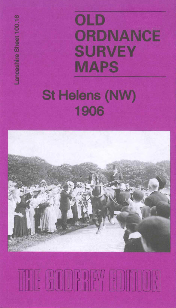
Godfrey Map Number 100.16. This map fits above the map of St Helens (SW) 1906 (Code 3369). One third of the map shows terraced, semi detached and detached houses, and to the left of the map shows farm lands with a few wooded areas. It includes Bleak Hill Brow, Eccleston (part) Windle Brook, Windleshaw Cemetery (part), Benton’s Green, Victoria Park (part), Gerard’s Arms Inn.on Kiln Lane, St.Thomas’s Cemetery and Mortuary Chapel (Church of England) Cowley Middle Schools off Hill Lane, Public Baths Boundary Road, large Cricket Ground Windleshaw Road, etc.