Alan Godfrey Maps
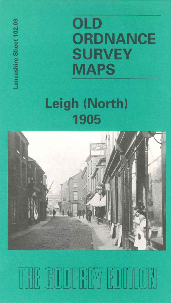
Leigh (North) 1905
Code:
£3.00
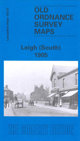
Godfrey Map Number 102.03. Lancashire: Leigh (North) 1905. Part of Leigh. There are two main L&NWR Railway lines shown, Bolton & Kenyon line and the Bedford Leigh line. They divide St Thomas’s Ward from St Mary~s and Lilford Wards. A large percentage is farm land, however, the Leigh town is heavily populated mainly with terraced housing. Includes: Leigh Union Workhouse, Infirmary, Athletic Ground and Brewery, Atherton Hall, Bedford Colliery, Church Fields, Cotton Mills at Kirk Lane, Victoria, Brookside, Platfold and Brook

