Alan Godfrey Maps
Earlestown (South) 1891
Code:
£3.00
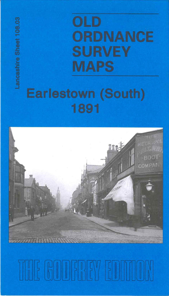
Godfrey Map Number 108.03a. This map fits below the map of Earlstown (North) 1906 (Code 3986). Shows small blocks of terraced houses along Pennington Lane, Newton Common & Lumber Lane, Collins Green. The main population, terraced housing, is in Earlstown itself in the top right hand corner of the map, the remainder of the map is open farm lands. It includes: L.& N.W.R. Liverpool & Manchester Railway Line, St.Helens Canal, Sankey Brook, Sankey Sugar Works, Collins Green Colliery, etc.

