Alan Godfrey Maps
Ashton in Makerfield (E) & Edge Green 1906
Code:
£3.50
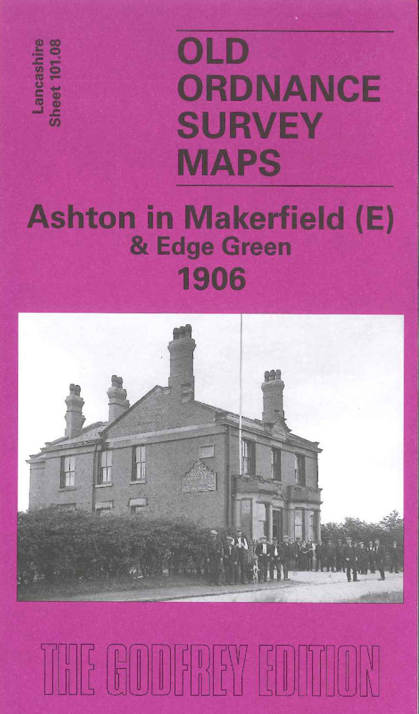
Godfrey Map Number 101.08. Ashton in Makerfield (E) & Edge Green 1906. 15 inches to 1 mile. Contains the eastern part of Ashton in Makerfield. Record Cotton Mill (spinning), gas works, Salvation Army barracks, smithy, & St Thomas's School are shown. To the top is Stubshaw Cross, a hamlet. To the right is Edge Green which is surrounded by railway lines - Mineral Railway and G.C.R. St Helens Branch, with Edge Green colliery having its own sidings.