Alan Godfrey Maps
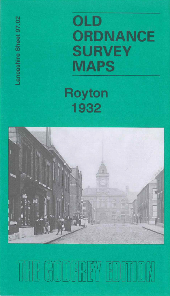
Royton 1932
Code:
£3.50
Godfrey Map Number 97.02. Royton 1932 (15 inches to 1 mile). Mainly terraced housing on each side of the main roads, Oldham Road, Rochdale Road, Shaw Road, Higginshaw Lane & Heyside. It includes:- Market Place, Town Hall, St. Anne’s Church, Monarch Mill (Cotton), Hospital on Sheepfoot Lane, Cotton Mills – Industry Mill, Royton Ring Mill, Booth Hill Mill, Lion Mill, Belgian Mill, King Mill, Turf Lane Mills & Rhos Mill. Also includes LMSR Railways Royton Branch & Oldham & Rochdale Branch. Etc.