Alan Godfrey Maps
Lower Irlam & Cadishead 1926
Code:
£3.50
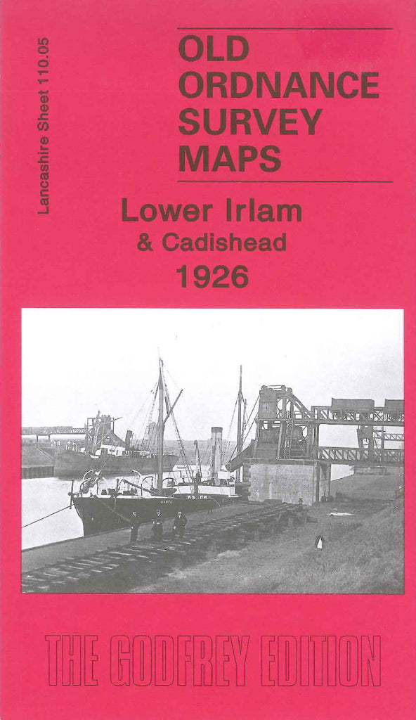
Godfrey Map Number 110.05. Lower Irlam & Cadishead 1926. 15 inches to 1 mile. The main town of Irlam and part of Cadishead are in the centre of the map with terraced houses and a few houses with gardens. Also in the centre is a Match Works, an Engineering Works and a Wall Paper Works, St Mary's Church and Congregational Church. The Cheshire Railway Lines run across the map from left to right with the large Partington Steel & Iron Works in between. Farm lands on the left include Ryefield Farm, Ash Farm, Ellesmere Farm, Higher Stanley Bank Farm and Astley Road Farm.