Alan Godfrey Maps
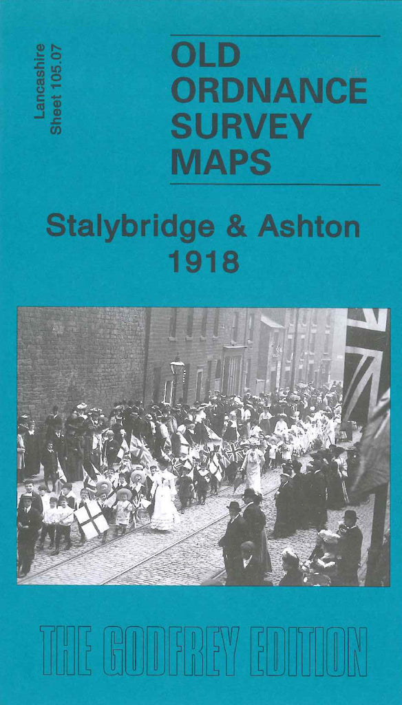
Stalybridge & Ashton 1918
Code:
£3.50
Godfrey Map Number 105.07. Stalybridge & Ashton 1918. 15 inches to 1 mile. This map fits directly west of the map Ashton-under-Lyne 1916 (Code 3952). It includes: Hurst Brook, Botany, Ashton under Lyne District Infirmary and Union Workhouse, Ridge Hill, Stamford Park, Tame Valley, Swanwick Clough, Mount Pleasant, Cocker Hill. Housing is mainly terrace.There are various railways running across the map--GCR Ashton & Stalybridge Branch, L & NWR, L & YR, Ashton Branch.