Alan Godfrey Maps
Runcorn 1905
Code:
£3.50
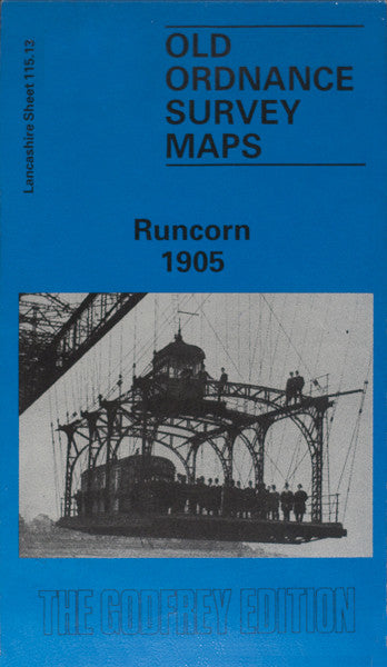
Godfrey Map Number 115.13. The township of Runcorn lies on the Cheshire side of the River Mersey fifteen miles upstream from Liverpool and about thirty miles from Manchester & Salford, with whom it is connected by the Manchester Ship Canal. The map shows the West Bank and the River Mersey top half of the map, the lower half being Runcorn. The L.& N.W.R. Railway runs from Runcorn over Runcorn Bridge to the West Bank. West Bank has many terraced houses & includes West Bank Dock, Hospital & Victoria Gardens. Runcorn includes: Terraced Houses, Wigg Works (Alkali), Bridgewater Canal, All Saint’s Church & Graveyard Church St., St. Luke’s Chapel (Congregational) & Football Ground off Canal St., Highfield Tannery, etc.