Alan Godfrey Maps
Altrincham 1908
Code:
£3.50
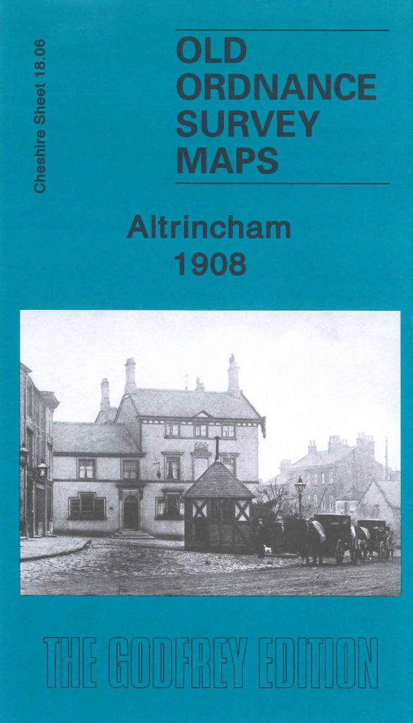
Godfrey Map Number 18.06. This map fits below the map of Altrincham North & Broadheath 1897 (Code 3429). Three quarters of the map is highly populated with a mixture of terraced, semi & detached houses, the semi & detached houses mainly on the outskirts of Altrincham, and in the Bowdon and Hale areas. It includes: St.Margaret’s Church & Vicarage off Dunham Rd., St.Vincent’s R.C.Church Bentick Rd., Methodist Chapel (Wesleyan) & Sunday School Enville Rd., Consumption Hospital Woodville Rd.,Cheshire Lines Railway, Altrincham & Bowdon and Hale Railway Stations, Motor Works, Brick Works, Timperley Golf Course, Stamford Park, Gas Works, Cemetery on Hale Road, etc.