Alan Godfrey Maps
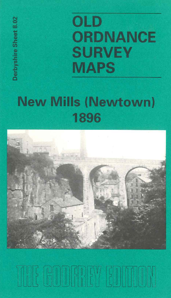
New Mills (Newtown) 1896
Code:
£3.00
Derbyshire: New Mills (Newtown) 1896. Mainly farmlands in Disley covering three quarters of the map the main town being Newtown. Includes: Waterside Mill; Highlee Hall; St Mary’s RC Chapel Catholic Brow; Torr Top; Mills - Brunswick, Torvale, Rock, Torr, Victoria, Woodside & Warkmore; Shady Oak, Disley Hall, Mowhole, Higher Greenshall, Moorwood, Bankend; New Mills Railway Station; Peak Forest Canal; River Goyt; Sheffield & Midland Joint Railway; L&NW Stockport & Buxton Railway; etc. On the reverse side of the map there is a railway time table, also lists of names of Magistrates, Farmers, Hotels, Inns, & Taverns and their licensees plus many residents.

