Alan Godfrey Maps
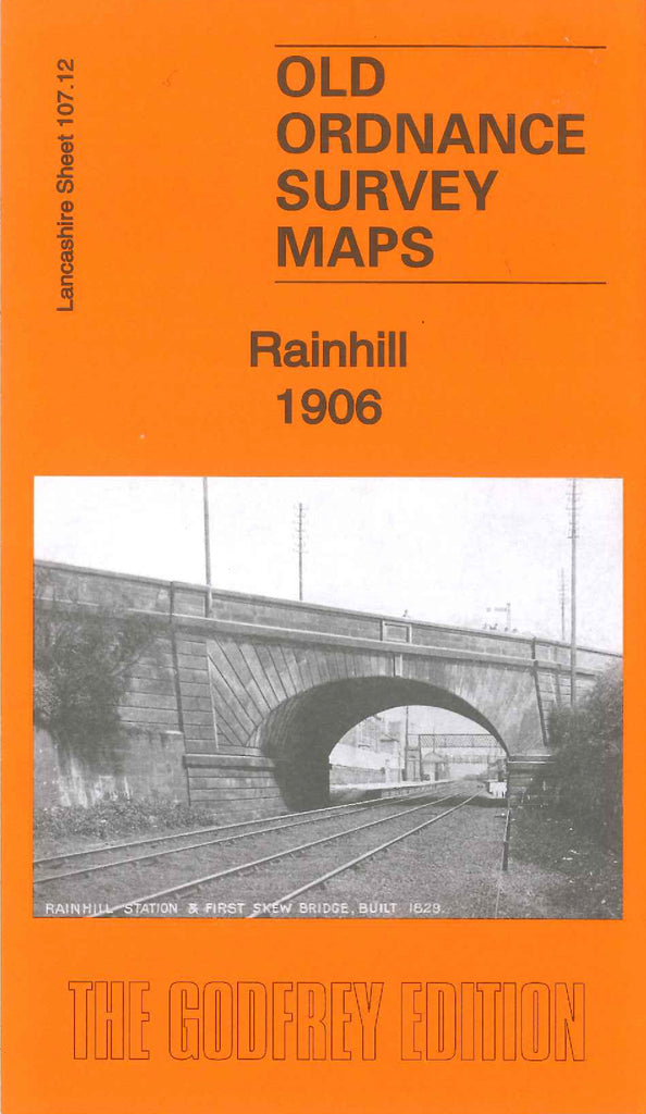
Rainhill 1906
Code:
£3.50
Godfrey Map Number 107.12. This map fits to the right of the map of Whiston 1925 (Code 3961). It shows terraced, semi and detached houses on either side of St. Helen’s Rd., St. James’s Rd., and Warriongton Rd., down the centre of the map, the rest of the map is farmlands. It includes:- Holt, L.& N.W.R. Liverpool & Manchester Line, Blundell’s Hill (part), Gas Works, Foundry (Brass & Copper), Railway Station, St. Ann’s Church, etc On the reverse side of the map is a list of Private Residents (from Kelly’s Directory of Lancashire 1918)