Alan Godfrey Maps
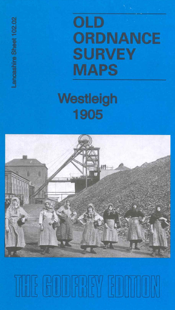
Westleigh 1905
Code:
£3.50
Godfrey Map Number 102.02. This map fits to the left of Leigh 1905 (Code 3344). The populated area is mainly in the Firs Lane area at the bottom right hand corner of the map. The housing is terraced on either side of Plank Lane, Heat Lane, Firs Lane and Wigan Road. The remainder of the map is farm lands. It includes Mineral Railway Lines from Abram Colliery and Priestner’s Colliery; Westleigh Brook, Shuttle Hillock, Old Fold (part) St.Peter’s Church & Schools on Firs Lane, Firs Mills (Cotton) Brick Works, Methodist Church (Free United) on Clifton St., etc.
On the reverse sideof the map is a list of residents from Kelly’s Directory 1918 and a list of places and times of worship including names of the relevant ministers.