Alan Godfrey Maps
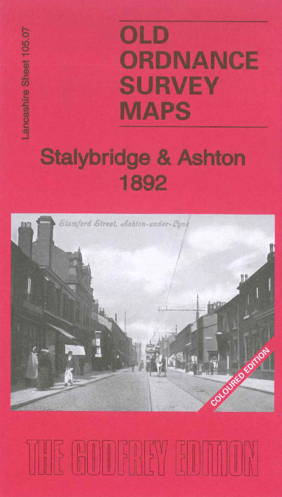
Stalybridge & Ashton 1892 Coloured edition
Code:The coloured editions of the Alan Godfrey maps show buildings in red, streets and roads in beige, water is blue, if there are trees there is a bit of green, and where there are boundaries they are shown in yellow. This coloured edition is an earlier version of Code 3956 Stalybridge & Ashton 1918. There are differencesfrom the later edition, a few to note are: more houses in various areas in the 1918 map blocks of houses appear in Hurst Brook area, Hamilton St., off Stamford St. adjacent to Minerva Mill (Cotton) in Central Ward is Texas Mill (Cotton). Ashton under Lyne District Infirmary, Union Workhouse and other Mills on the coloured map are still there on the 1918 map. The coloured map includes: Hat Factories Hurst Brook, Albion School Cricket’s Lane, St James’s Church Romney St., a large Cemetery Stamford St., M.S & L.R. Ashton & Stalybridge Railway, River Tame, Huddersfield Canal, Stamford Park, Higham Fold, Stalybridge Railway Station, Mount Pleasant, Ridge Hill, Globe Iron Works off Bayley St., St George’s Church Cambridge St., etc.