Alan Godfrey Maps
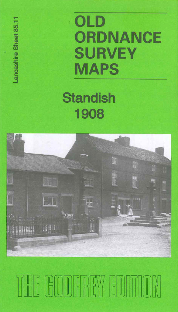
Standish 1908
Code:
£3.50
Godfrey Map Number 85.11. This map fits above the map of Standish (Boar’s Head) 1907 (Code 3603). It shows mainly farmlands and a few wooded areas, shows terraced houses in the Standish area bottom left of the map. It includes various Mineral Railway Lines, St.Wilfrid’s Church off Market Place, Standish Brewery, St.Marie’s R.C.Church, Bradley Brook, The Grove, Bradley Mills (Weaving & Spinning) Bradley Lane. There is an A to Y list of residents on the reverse of the map.