Alan Godfrey Maps
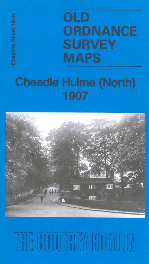
Cheadle Hulme (North) 1907
Code:
£3.50
Godfrey Map Number 19.06. This map fits above the map of Cheadle Hulme (South) 1907 (Code 3434). It shows mainly farmlands & wooded areas, with small amounts of terraced, semi and detached houses along Schools Hill, Cheadle Rd., Albert Rd., Queens Rd., Station Rd. and Councillor Lane. It includes:- Downs Bridge, Demmings Dye & Bleaching Works, Adswood (part), Longworthy Brick Works, Adswood Mill (Corn), Ladybridge Rd.
L.& N.W.R. Crewe & Manchester Railway Line, etc