Alan Godfrey Maps
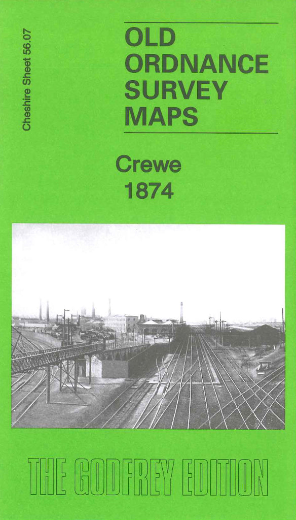
Crewe 1874
Code:Godfrey Map Number 56.07a. This is an earlier version of the map of Crewe 1908 (Code 3405). To the right of the map occupying about a quarter of it is highly populated area, with mainly terraced housing. The remaining part is farmlands. This map shows a Sewage Utilisation Works, and is Queens Park covering a large area in 1908. There are a number of railway lines plus Crewe Works (Locomotive Engineering & Co. L.& N.W.R.) in 1908 not there on this map. A substantial number of terraced houses to the left of Mill Street in the South Ward of Crewe in 1908, is not there on this map, and similar in the Central Ward. The London & North Western Railway Company’s Steel Works on this map is not there in 1908. The map includes: Volunteer Rifle Range, part Wistaston Green, The Valley, Deviation Works, Christ Church off Prince Albert St., County Court Office Nantwich Rd., a Brewery on Walthall St., etc.