Alan Godfrey Maps
Stockport Town Centre 1873
Code:
£3.50
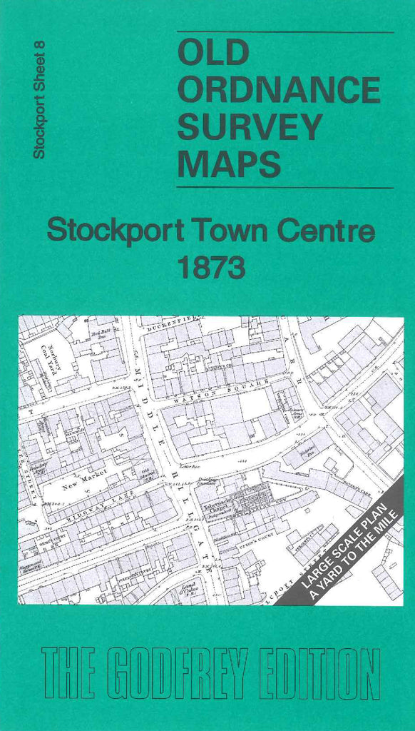
Godfrey Map Number 08. Stockport Town Centre 1873 (36 inches to 1 mile). This map of Stockport is sheet 8 in the large scale series. It shows mainly terraced housing. A small part of the River Mersey runs across the top left hand corner crossing under Wellington Road South, which runs down the left hand side of the map. The map includes:- Vulcan Iron Works, Wellington Bridge Mill (Cotton), St. Peter’s Church, Daw Bank Print Works, Railway Station and Stockport Viaduct, St. Joseph’s RC Chapel, Grove Works (Cotton Waste), Victoria Foundry (Iron), Waterloo Mill & California Mill (Cotton), Working Men’s Christian Association Chapel on Waterloo Road, Hat Manufactory. etc.