Alan Godfrey Maps
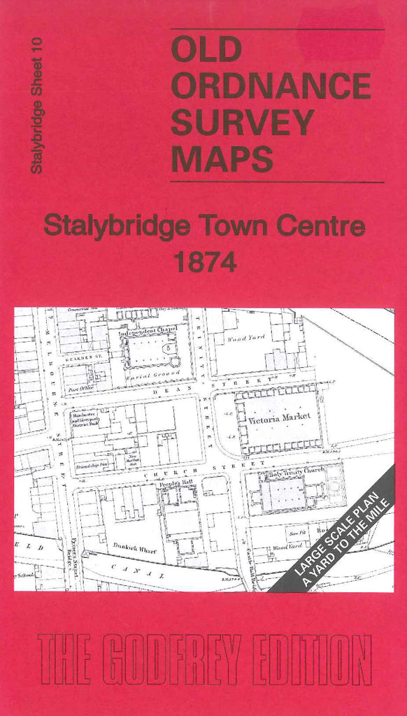
Stalybridge Town Centre 1874
Code:
£3.50
Godfrey Map Number 10. Stalybridge Town Centre 1874 (36 inches to 1 mile). This map is sheet 10 in the large scale series. It shows mainly terraced housing. The River Time zig zags across from left to right across the map, also the Huddersfield Canal. It includes:- Part Mount Pleasant, Stamford Street, Market Street, Hob Hill School, Grosvenor Street and Castle Street Mills (Cotton), Iron & Brass Foundry (Machine & Mill Works), Albion Mills (Cotton), St. Georges Church on Cocker Hill, Stalybridge Gas Works. etc.