Alan Godfrey Maps
Middlewich 1908
Code:
£3.50
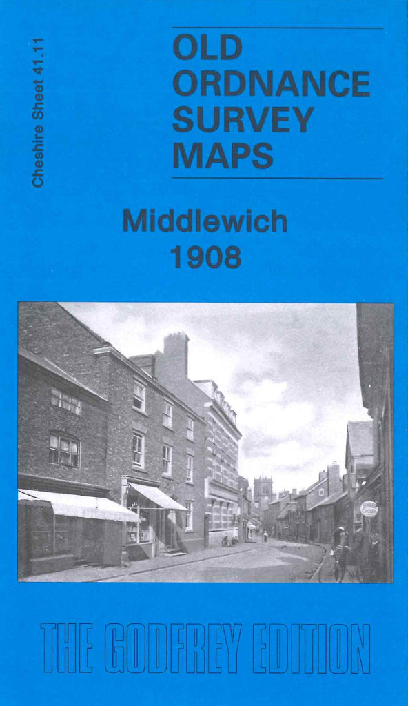
Godfrey Map Number 41.11. Middlewich 1908.
This map is surrounded by many other maps not yet issued, so there are a lot of blank spaces around this area of Cheshire yet to be filled in. Since Middlewich was only a small village at the time, there are a lot of open spaces outside the stream of houses around the main thoroughfare Lewin St.,Wheelock St., and Chester Rd. It includes: River Dane (part), Shropshire Union Canal, L.& N.W.R. Railway Northwich Branch, Stanthorne (part), Football Ground Newton Heath , Flint Crushing Mill, various Salt Works, Church (Vicarage) & Town Hall Hightown, St.Mary’s RC Chapel King St., Cemetery Chester Rd., School on King Edward St., a long list of residents on the back of the map, etc.