Alan Godfrey Maps
Stockport (East) 1897
Code:
£3.00
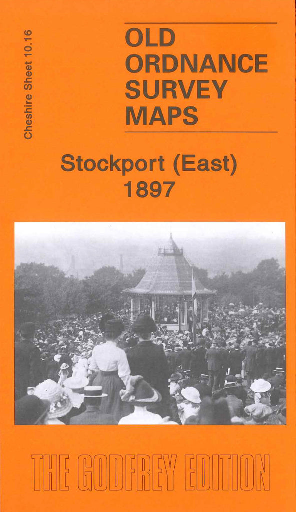
Godfrey Map Number 10.16. This map fits to the right of the map of Stockport Central 1897 (Code 3422) it shows mainly farmlands and wooded areas. The built up areas continued from the Stockport Central map, on the left of the map, shows Carrington Road, River Goyt, New Zealand Road, Turncroft Lane, Hall Street. It also includes: Carrington Bridge Mill (Cotton), New Bridge Mill (Cotton Disused), Victoria Park, Stockport Little Moor, Lower Bredbury, Highfield, Goyt Hall, Clapgate, etc.

