Alan Godfrey Maps
Sale (SW) 1908
Code:
£3.50
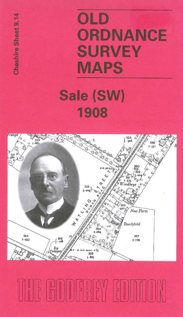
Godfrey Map Number 09.14. Sale (SW) 1908. 15 inches to 1 mile. Situated to the west of 3438 Sale (Brooklands) 1908 and to the north of 3429 Altrincham (North) & Broadheath 1897. Mainly a rural area with Sale Cemetery in the top righthand corner. The Bridgewater Canal and Watling Street (Roman Road) run parallel northeast to southwest. There are several farms on the map and some large houses, Woodheys Hall, Tyntesfield, Manor House, Haddon House & Woodheys Grange among them.