Alan Godfrey Maps
Bramhall (North) 1907
Code:
£3.50
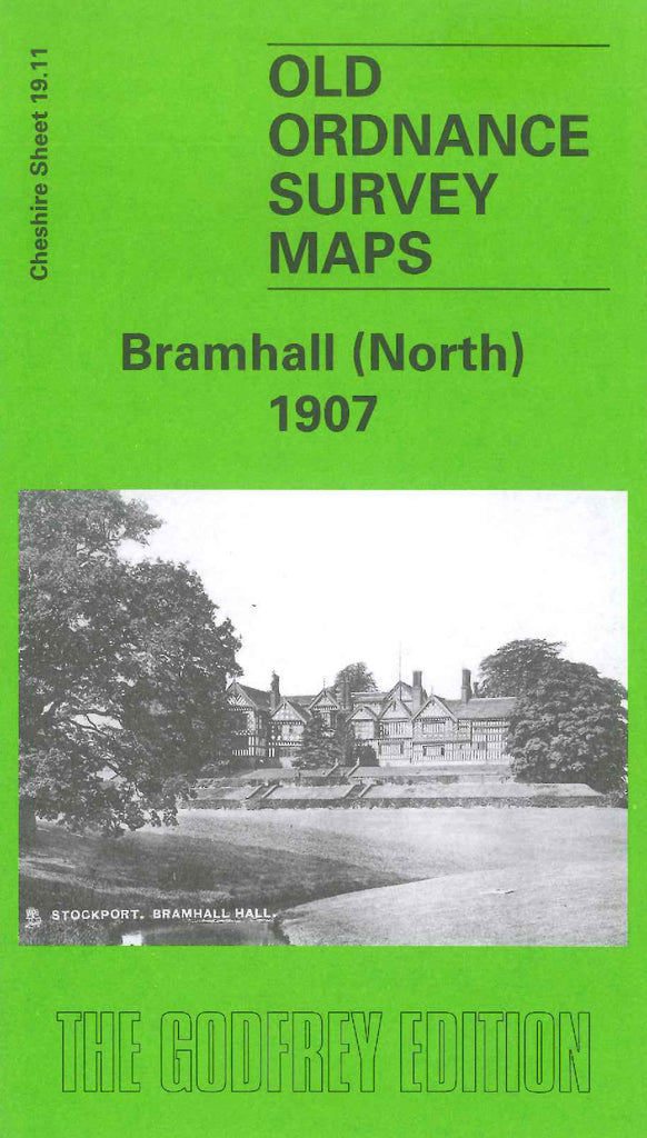
Godfrey Map Number 19.11. Bramhall (North) 1907. 15 inches to 1 mile. Fits to the right of Cheadle Hulme (South) 1907, Code 3434. Bramall Hall is top centre, with Bramhall Park to the left and Bramhall Green just right of the Hall. Bottom centre is Pownall Green, which connects to Bramhall Green by way of Bramhall Lane. In Pownall Green is St Michael & All Angels' Church, a school, a grammar school and a railway station.