Alan Godfrey Maps
Cheadle & Cheadle Heath 1897
Code:
£3.50
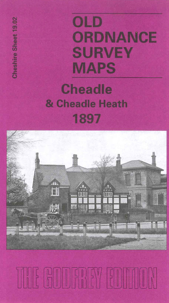
Godfrey Map Number 19.02. This map fits to the left of the map of Stockport (South) 1907 (Code 3430). Shows mainly farmlands with the main housing along Wilmslow Rd., High St., & Stockport Rd. It includes: L.& N.W.R. Warrington & Stockport Lines Railway & on the reverse side of the map is a timetable. Also includes: Abney Hall, Congregational Chapel Massie St., St. Augustine’s Church St; Lesmo Rd., Bird Hall, Walnuttree Farm, etc.