Alan Godfrey Maps
Marple 1896
Code:
£3.50
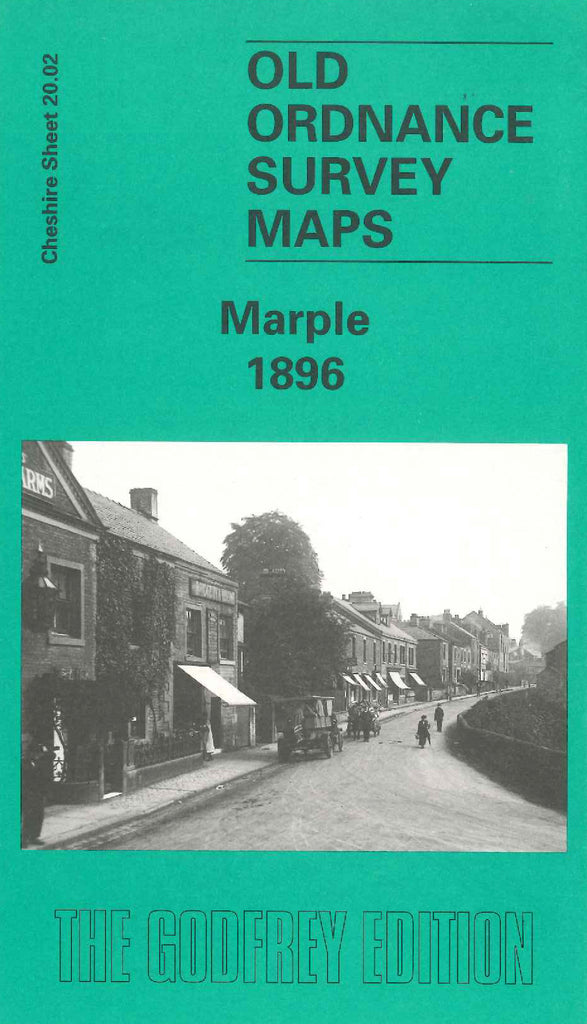
Godfrey Map Number 20.02. Cheshire Marple 1896. Mainly farmlands with the Sheffield & Midland Joint Railway running from the top to the bottom of the map. The village with its Tannery and Hollins Cotton Mill has a mixture of terraced and semi-detached houses. Other places on the map are: Leyhey, Brabyns Hall, St.Mary’s R.C. Chapel & Congregational Chapel on Hollins Lane, Cataract Bridge, Townscliff, Bottom’s Hall, Waterside, Greenbank, etc.