Alan Godfrey Maps
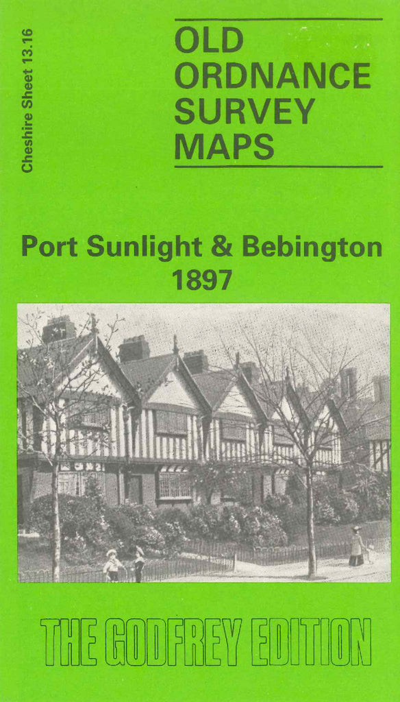
Port Sunlight & Bebington 1897
Code:
£3.50
Godfrey Map Number 13.16. The housing is mainly in areas of Lower Bebington, Port Sunlight, Bromborough, Primrose Hill, Trafalgar and along Chester Road. The remainder shows farmlands. It includes: Bebington Cemetery Townfield Lane, St. Andrew’s Church & Graveyard Trafalgar, Sunlight Soap Works, L.& N.W. & G.W.J.R. Birkenhead Railway Line, the River Mersey (part), etc. On the reverse side is the continuation, fits on the right of the map. It shows the River Mersey, Cricket Ground, The Green and Magazines.