Alan Godfrey Maps
Blackpool (South) 1909
Code:
£3.50
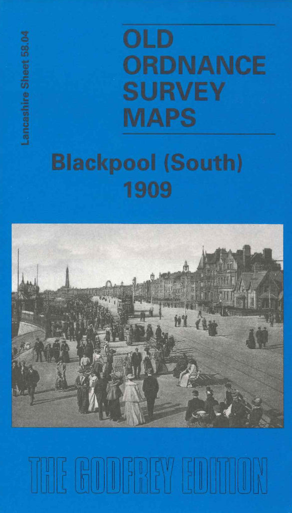
Godfrey Map Number 58.04. Lancashire: Blackpool (South) 1909. This map fits under map Code 3309 Blackpool 1932. It conlinues on the reverse side of the map. It includes mainly terraced houses nearer the sea front and several scattered inland. Also includes Victoria Pier, South Shore; Waterloo Road Railway Station; Thames Road School and Unitarian Church; Arnold House; Church of the Holy Cross and Knowle Farm on Middle Lane; Stony Hill; Dunes Hotel; Tramway Depot; L&Y & L&NW Railway Line; Layton Hawes Farm etc.