Alan Godfrey Maps
Brierfield & Reedley Hallows 1910
Code:
£3.50
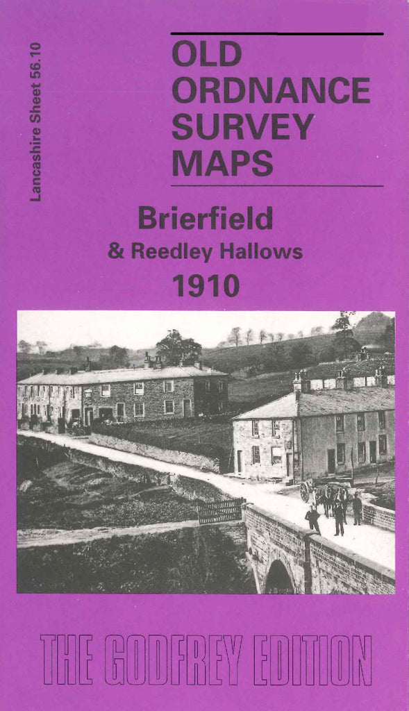
Godfrey Map Number 56.10. Lancashire: Brierfield & Reedley Hallows 1910. Reedley & Hallows mainly farmlands, the town of Brierfield having rows of terraced houses, includes: Montford, Waterside, Wood End, Holme End, Bridge Inn, Cotton Mills - Meadow Bank, Pendle View Shed, Jewel Mill, Hollin Bank Mill; also includes: Leeds & Liverpool Canal, Pendle Water, L&YR Clifton, Accrington & Colne Railway Line, etc.