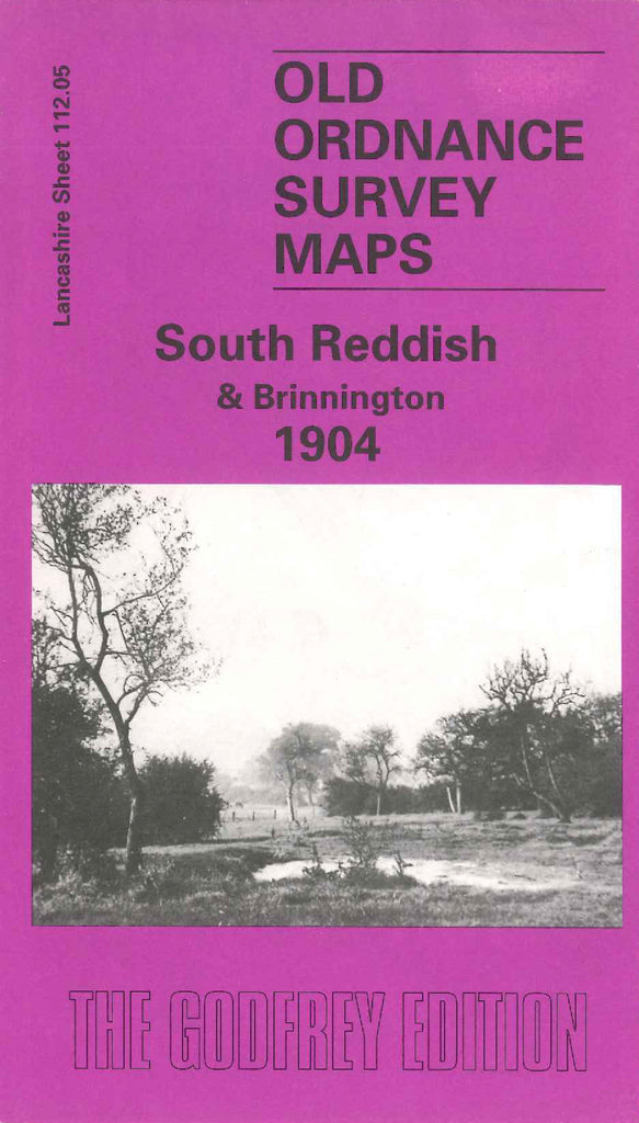
Alan Godfrey Maps
South Reddish & Brinnington 1904
Code:
£3.50
Godfrey Map Number 112.05. Lancashire: South Reddish & Brinnington 1904 The map shows mainly farmland with terraced housing at Mid Reddish & South Reddish. Railways Stoekport & Guide Bridge, Brinnington, Sheffield & Midland Lines. Includes: Methodist Chapel Reddish Green; Reddish Station; Farms: Yew Tree; White Hill; Clarks Church; St Mary’s Church Reddish Road; Willow Grove Cemetery Reddish Vale Printworks; Farmers Arms Lingard Lane; etc.