Alan Godfrey Maps
Cheadle (North) 1916
Code:
£3.50
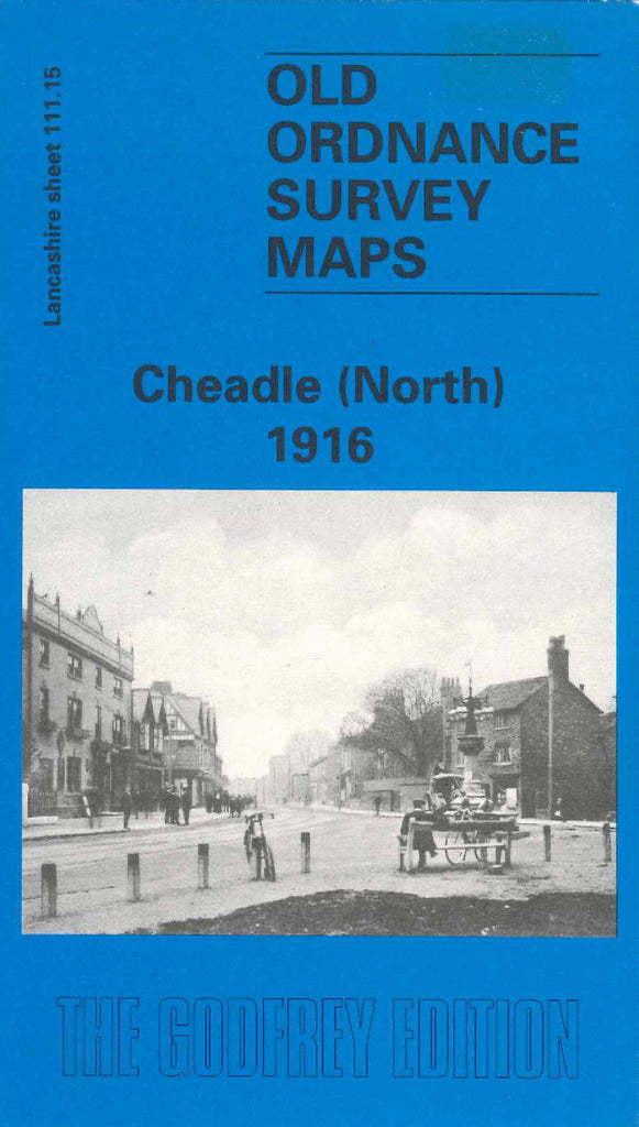
Godfrey Map Number 111.15. Lancashire: Cheadle (North) 1916 With the River Mersey, Cheshire Line Railway and NWR Railway lines crossing from one side to the other side of this map, it shows mainly farm lands, with a little of Cheadle housing. It includes: The Towers, Cheadle Bridge (over the Mersey), Heaton Mersey Bleach Works, Meadowside Works, Barnes Convalescent Hospital, Cheadle Hall, Abney Hall, St Chad’s RC Church Stockport Road, Primitive Methodist Chapel, Old Road, etc. On the reverse side of the map is a history of the area plus a list of streets and roads with names of the inhabitants.