Alan Godfrey Maps
Southport (East) 1909
Code:
£3.50
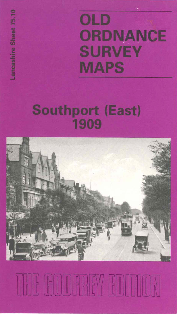
Godfrey Map Number 75.10. This map fits to the right of map of Southport Central 1909 (Code 3336). Very highly populated with terraced houses & houses with gardens. A small fraction of open lands are on the right bottom corner. It includes: L.& Y.R. Railway Southport & Preston Lines and Southport & Hill House Lines and Wigan & Southport Line, All Saints Church Park Rd., The Grange Roe Lane, St. Luke’s Church St. Luke’s Rd., Shakespeare Hotel Scarisbrick New Rd., St. Luke’s Station, All Saints Schools Norwood Rd., etc.