Alan Godfrey Maps
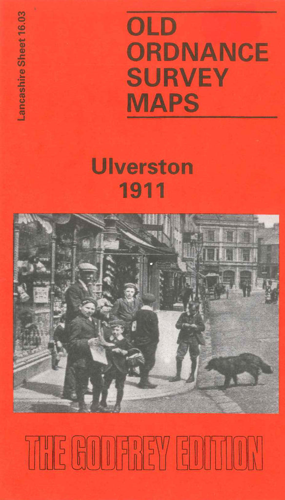
Ulverston 1911
Code:
£3.50
Godfrey Map Number 16.03. Shows half housing and half open lands & wooded areas. Includes: Heaning Wood, Town Bank, Stone Cross, Lightburn Park, Furness Railway & Station, Victoria Grammar School off Hart St., Ulverston Union Workhouse, St. Mary’s Church , Holy Trinity Church & Graveyard, Liberal Club Fountain St., Ure Mill (Corn), etc.