Alan Godfrey Maps
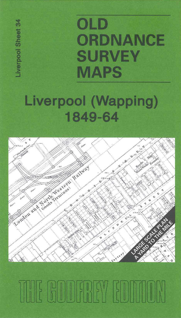
Liverpool (Wapping) 1849-64
Code:
£3.00
Godfrey Map Number 34. This map fits below the Liverpool (Hanover St) 1848-64 map (Code 3251). Half of the map covers the dock areas and warehouses. The other half covers residential areas and factories. Includes:- Hoop Manufactory, Soap Manufactory, Rice Mills, London and North Western Railway Goods Terminus, St. Michael’s Church Up. Pitt Street, St. James Street Brewery, Brick Street Brewery, Wesleyan Methodist School Jordan Street, etc.

