Alan Godfrey Maps
Manchester Moss Side 1915
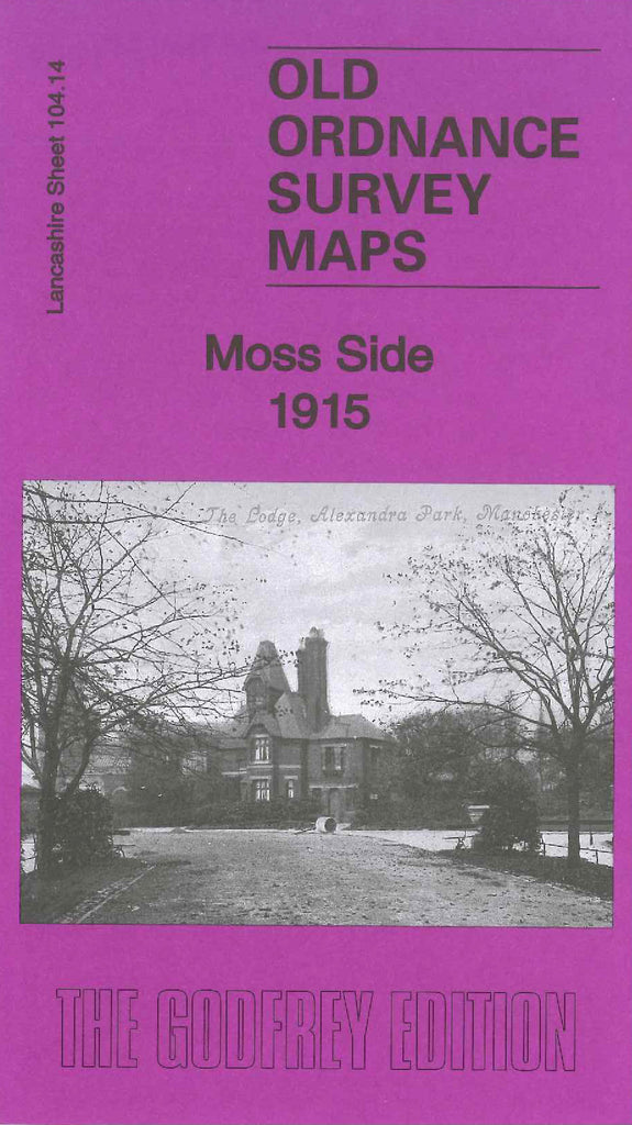
Code:Godfrey Map Number 104.14b. This is an updated map of Moss Side 1889 (Code 3118).
In 1904 Manchester amalgamated with the urban districts of Withington and Moss Side, considerably increasing both the size and population of the city. This map revised in 1915 but not published until 1922, covers the area formerly administered by Moss Side Urban District Council together with the southern part of Hulme, and parts of Whalley Range and Old Trafford. These areas show an increase in the number of terraced and semi-detached houses. Both Northumberland Road and Henrietta Street in Old Trafford have been extended to include the housing and also Western Street in Withington has been extended to include many terraced houses. What was Hullard Hill Farm & Cottages and Recreation Ground in Old Trafford is now Tennis Courts, Bowling Greens and a Band Stand. Includes: St. John’s Church off Ayres Road, a large Engineering Works and Smallware Factory off Chester Rd. extra streets in Moss Side area of Great Western Street to name a few, are: Hartington, Beresford, Roseberry, Cowesby, Gaythorp, Crondall. etc.