Alan Godfrey Maps
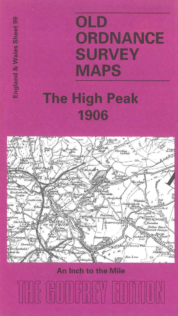
High Peak (The) 1906
Code:
£3.50
High Peak (The) 1906 1 inch to 1 mile. Includes Glossop and Bradfield Moors in the North. Goytsbridge, Tideswell, Stony Middleton and Curbar in the South. Disley to the West and Hathersage to the East. The Peak, Edale and Castleton are central to the area. There is a large-scale map of Hathersage on the reverse side.