Alan Godfrey Maps
Lydgate, Roaches & Quick 1906
Code:
£3.00
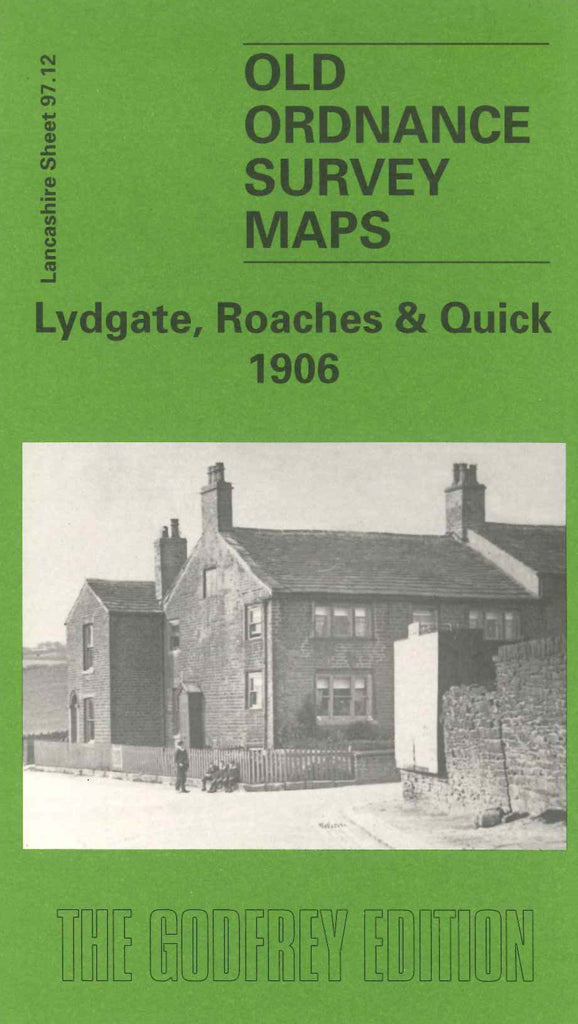
Godfrey Map Number 97.12. Lancashire: Lydgate, Roaches & Quick 1906 (15 inches to I mile). Continuing around the Oldham area, this map fits on the right side of Lees 1906 map. ‘The Yorkshire boundary with Lancashire and with Cheshire traversing the bottom portion of the map separates the modern boroughs of Oldham and Tameside. Both, since 1974, lie within the county of Greater Manchester’. Includes: Grotton Brow; Cover Hill; Thomlee; Pioneer Glazed Brick Works; Holly Bank; St Anne’s Ch, Lydgate; Grasscroft (part); Royal George Mills (Woollen); Dacres Hall; Shaw Hall Bank; etc.

