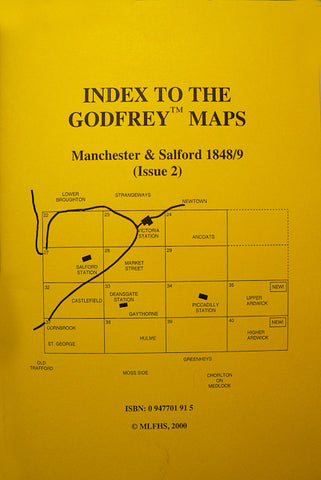
Alan Godfrey Maps
Manchester Castlefield 1848
Code:
£3.50
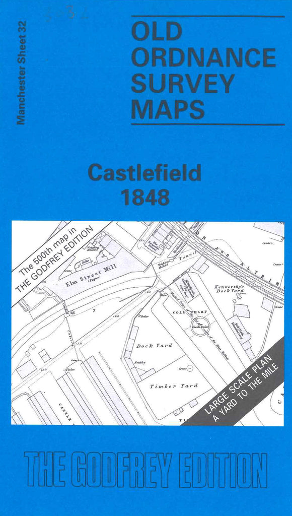
Godfrey Map Number 32. Castlefield 1848. 36 inches to 1 mile. Terminus of Bridgewater Canal and of Liverpool & Manchester Railway.River Irwell crosses the area north to south-west, and is joined by the Medlock at Hulme Lock. Various mills in the area, along with stores, warehouses,and dye works. The site of the Roman Fort circa 79AD, is marked. Top left is a residential area of Salford around Ordsall Ln. and Regent Rd. Chester Rd. cuts across the bottom right, and Liverpool Rd. & Wellington Pl. are at the top right.