Alan Godfrey Maps
Pemberton 1927
Code:
£3.00
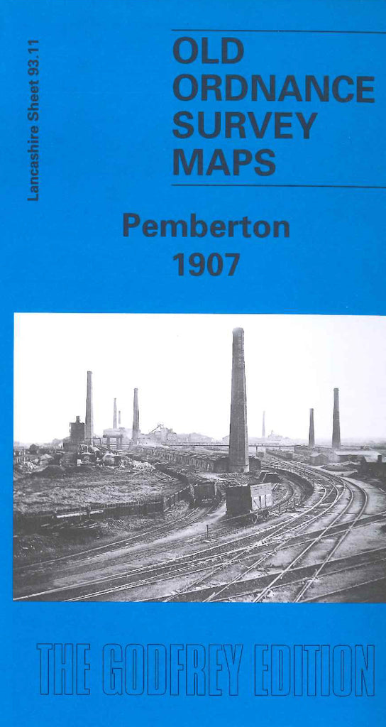
Godfrey Map Number 93.11b. Pemberton 1927. Twenty years on from the map of Pemberton dated 1907 (Code 3392) There is very little change except that a new housing estate has been added in the Spring Bank area of the map. This map fits below the map of Wigan West 1908 (Code 3332). Shows various branches of the London Midland & Scottish Railways across the map. It includes: Spring Bank, Highfield, Goose Green, Poolstock, Worsley Mesnes, Pemberton Cottage Hospital (Infectious Diseases), Bridgwater School Albert St., Alexandra Park, Iron Works, Cotton Mills, St. Paul’s Church Goose Green, St. James’s Vicarage, etc.

