Alan Godfrey Maps
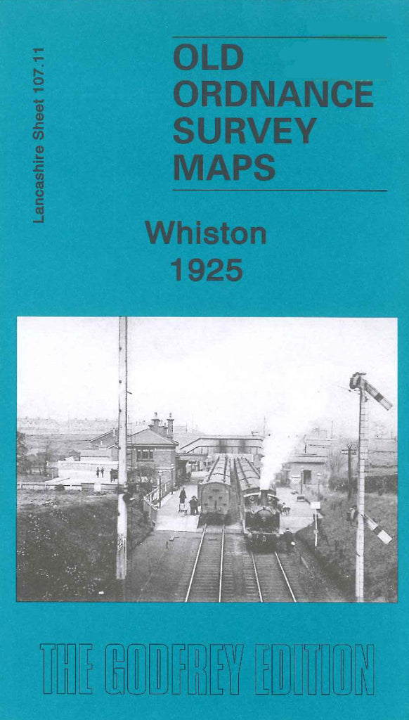
Whiston 1925
Code:
£3.00
Godfrey Map Number 107.11. Whiston 1925 15” to 1 mile. This map fits below the map of Prescot 1925 (Code 3930). Mainly farmland with some terraced housing. The Liverpool & Manchester Railway Line runs from left to right across the map, also The Huyton & St.Helens Railway Line across the top left hand corner. It includes:- Old Carrs Pit; Prescot Hall; Warrington Road; Holt Cottage; Whiston Poor Law Institution; Higher Sides; Platts Bridge; Whiston Lane Ends; Tushington Metallic Brick Works; etc.