Alan Godfrey Maps
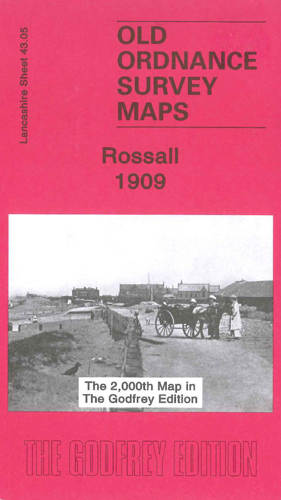
Rossall 1909
Code:
£3.50
Godfrey Map Number 43.05. Rossall 1909. 15 inches to 1 mile. This map fits directly north of the Thornton Cleveleys 1910 map (code 3945). Mainly farm land. It includes: Fleetwood Farm, College Farm, Wyrefield Farm, Springfield House, Burn Hall, Salt Marsh, Fleetwood Salt Works, Ammonia Soda Works. On the reverse side of the map is Rossall School and Recreation Grounds and Carr House Farm.