Alan Godfrey Maps
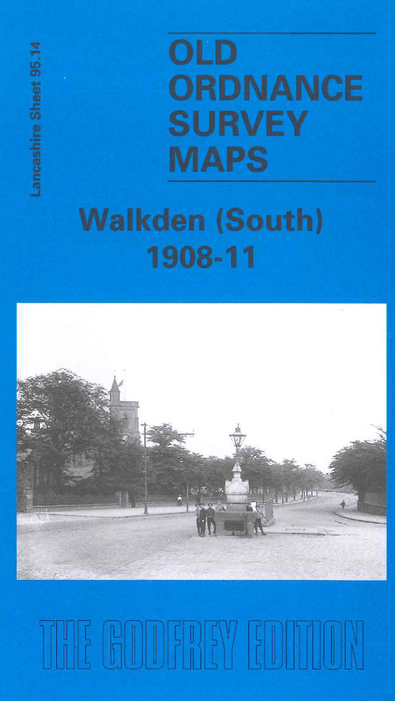
Walkden (South) 1908-11
Code:
£3.00
Godfrey Map Number 95.14. Lancashire: Walkden (South) 1908-11. This map fits below Walkden (North) & Blackleach 1907 (Code 3921) and left of Wardley 1907 (Code 3378). The main habitation is concentrated at the top centre of the map. Includes: Railways L&NWR Worsley & Bolton Line, Bridgewater Collieries and L&NWR Eccles, Tyldesley & Wigan Lines, etc

