Alan Godfrey Maps
Rochdale 1908
Code:
£3.50
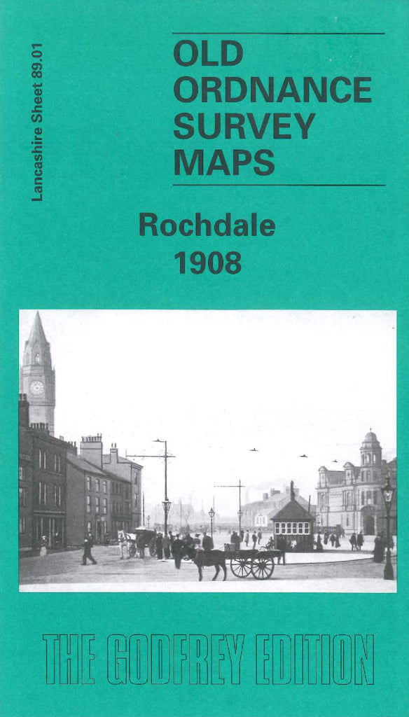
Godfrey Map Number 89.01. Lancashire: Rochdale 1908. This is the second map of Rochdale, Rochdale South, already issued, fits below this map, which shows a highly populated area of mainly terraced houses. It includes: Wardleworth Ward South, Castleton Ward North and part Wuerdle Ward. Also includes: Infirmary & Dispensary off Duke St.; Broadfield Park; Graveyard, Church Stile; Firgrove Mill (Cotton); Newbold; Belfield; St Ann’s Church, Milnrow Rd.; Rochdale Canal; Lancashire & Yorkshire Railway; etc.