Alan Godfrey Maps
Mossley (South) 1906
Code:
£3.50
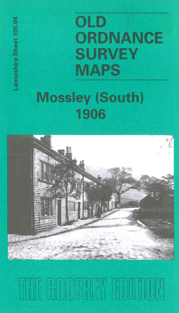
Godfrey Map Number 105.04. Lancashire: Mossley (South) 1906. The map is a tranverse section of the Tame valley - a largely open landscape on the fringes of several built-up areas. To the north lies Mossley, already in 1906 past its peak as a cotton town; to the south are the edges of Millbrook, a factory village which had become part of Stalybridge in 1881. In the NE corner lies part of Carrbrook village and to the west is the ancient hamlet of Luzley, nestling in the hills between Ashton-under-Lyne and Mossley.’ Includes:- L&NWR Railways Huddersfleld & Manchester Line & Stalybridge & Diggle Loop Line. Also Heyrod;, Spring-grove Mill, Hilltop, Hydegreen, Moorgate & Mossley Cemetery; etc.