Alan Godfrey Maps
Waterfoot 1908
Code:
£3.50
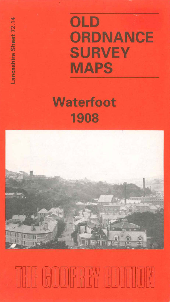
Godfrey Map Number 72.14. This map fits to the left of the map of Stacksteads 1908. The top half of the map shows cotton mills with local housing estates, on the outskirts and below the map is mainly farmlands. It includes: Hareholme, Booth Fold, Fearns, Waterbarn, Glen Top, Hugh Mill, Rake Head, Whitaker Pasture, River Irwell, L.& Y.R. Railway Bacup Branch, St. Nicholas Church, Siss Clough Felt Carpet Works, St. James’s Church Bacup Rd., Bridge End Foundry (Brass & Iron), School & Institute Cowpe Rd., etc.