Alan Godfrey Maps
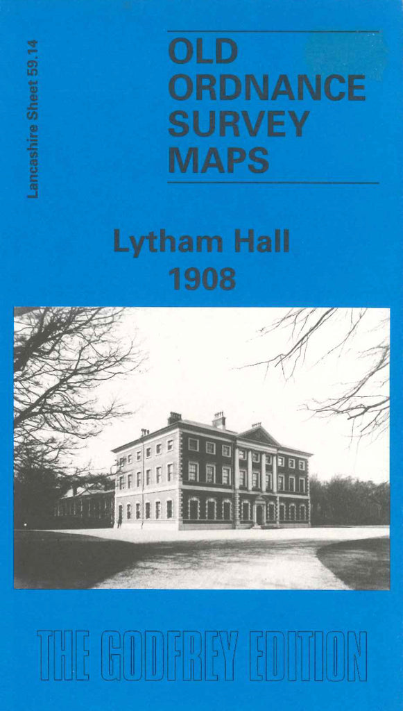
Lytham Hall 1908
Code:
£3.50
Godfrey Map Number 59.14. Shows mainly open lands & wooded areas, with a small number of houses in the Ansdell Lytham area down to the left of the map. It includes: Hey Houses Lane, Liggard Brook, The Birks, Lytham Hall & Park, Big Wood, Hall Wood, Ansdell & Fairhaven Railway Station, St. Joseph’s Hall & Presbytery off Woodlands Road, etc.