Alan Godfrey Maps
Lytham 1908
Code:
£3.50
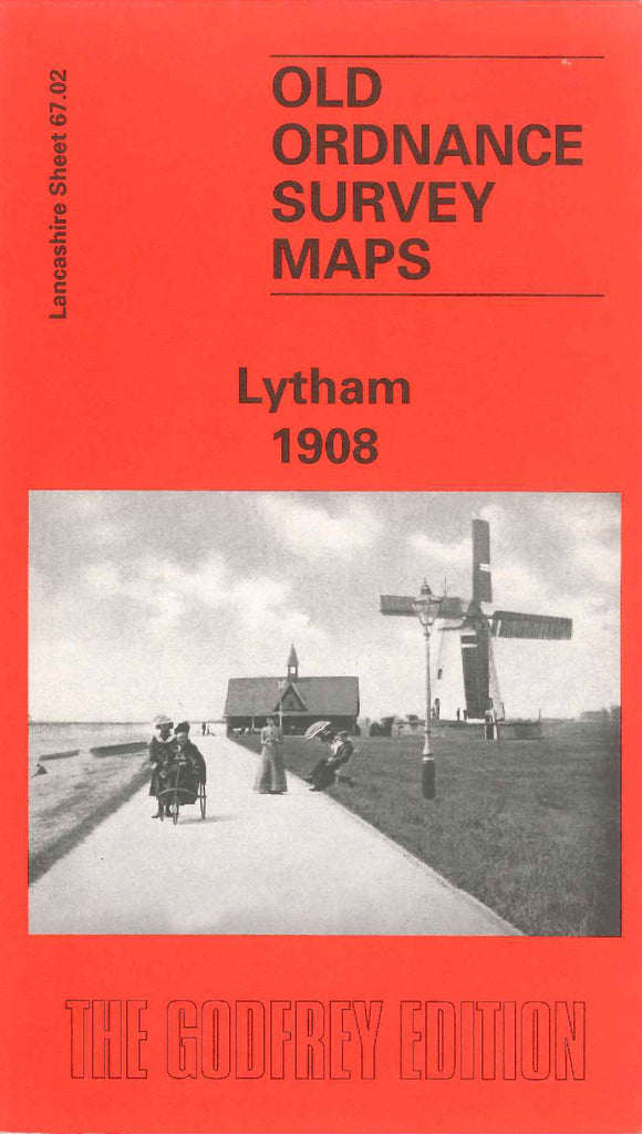
Godfrey Map Number 67.02. Lancashire: Lytham 1905. The town of Lytham lies in the south-west oftheFylde area of Lancashire on the north bank of the estuary of the Ribble at the point where the river ends, the joumey from its source in Ribblesdale and flows into the sea in Morecambe Bay. The map extends from Marine Lake on the left to Station Wood at Upper Weatby Street on the right. The map continues on the reverse side, commencing at Lytham Railway Station to the Laundry and Shipbuilding Yard at Preston Road. It shows part of Ansdell, the large hotels along the Promenade, St.Paul’s Church, St.Cuthbert’s Church, Cricket Ground, Lowther Gardons, Clifton Square; Cottage Hospital, etc.