Alan Godfrey Maps
Wigan (West) 1908
Code:
£3.00
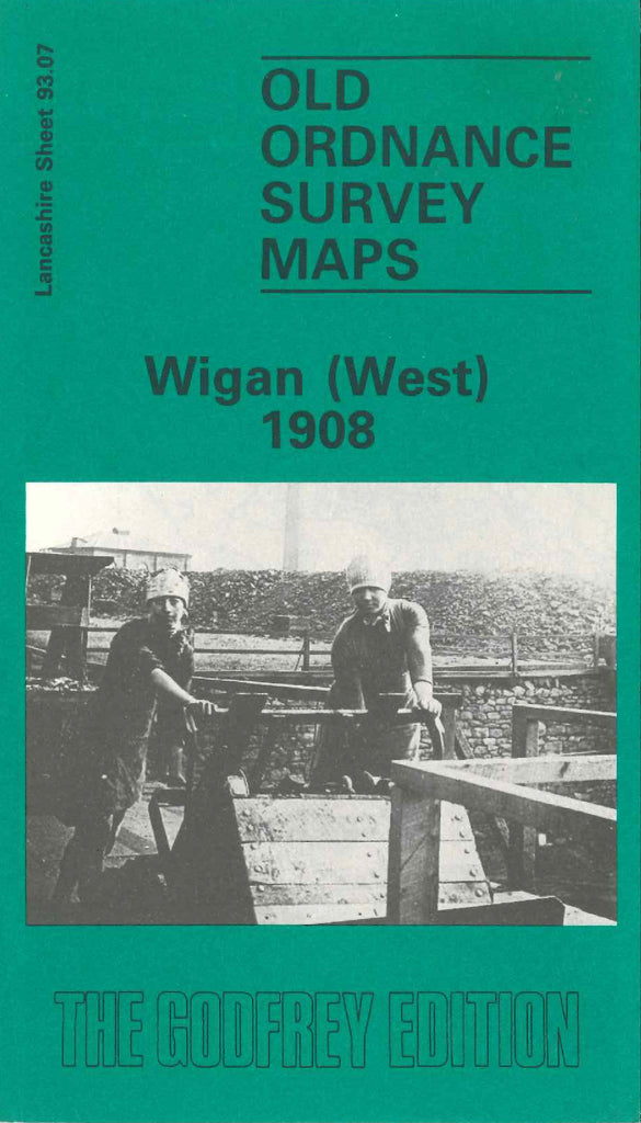
Godfrey Map Number 93.07. This map fits to the left of the map of Wigan 1907 (Code 3331). About a third of the map to the right is highly populated with mainly terraced houses. The left of the map is open lands & wooded areas. It includes: Marsh Green, L.& Y.R. Railway Wigan & Southport Line, Leeds & Liverpool Canal, North Pemberton Ward, Newtown (part), Wigan Union Workhouse, Bull Hey Cricket Ground, Mesnes Park (part), Pagefield Loco Brick Works off Woodhouse Lane, Norley Colliery, cotton mills, etc.

