Alan Godfrey Maps
Atherton (NE) 1907
Code:
£3.50
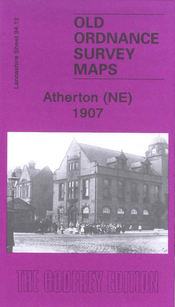
Godfrey Map Number 94.12. Atherton (NE) 1907. This Map fits above that of Tyldesley 1905 (Code 3926). It shows mainly farmlands that are sectioned off and each plot is numbered. Atherton itself is down to the left hand corner of the map with Bolton Road running right through it and up north to the top of the map. Also includes:- Hulton Colliery, Spout Fold, Leadbeater’s Farm, Peelwood Colliery, Pendleton & Hindley Railway Line, Lancashire Screw Bolt Works, Laburnum Mill (Spinning), etc.