Alan Godfrey Maps
Heywood 1907
Code:
£3.00
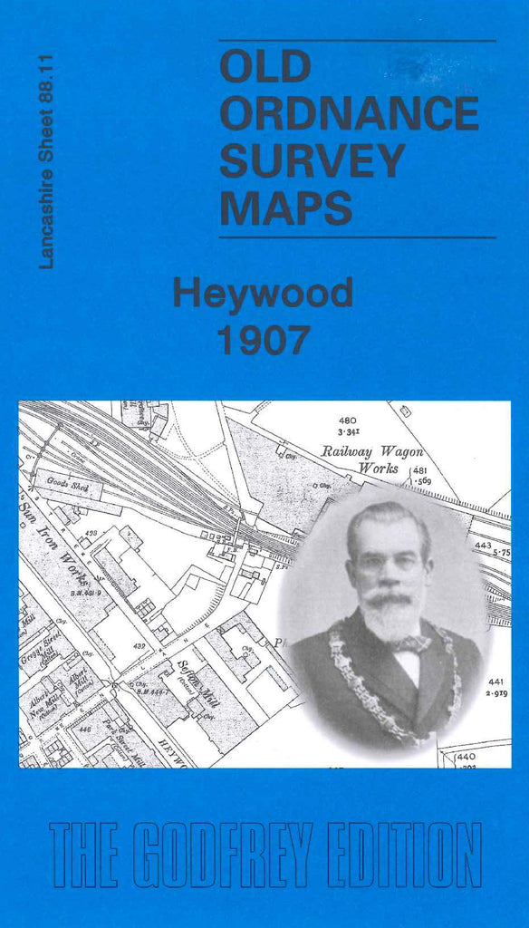
Godfrey Map Number 88.11. Heywood 1907. 15 inches to 1 mile. Fits directly east of Heap Bridge 1908 (3376). The L & Y Railway Liverpool, Bolton & Bury Line bisects the map, with the town of Hopwood south of it. There are about 20 cotton mills, along with a brick works, leather works, iron works and a railway wagon works. Housing is mainly terraced, with the exception of Harefield Hall, Simpson Hill House and Barley Hall in Heywood and Springfield House and Gooden House in Hopwood.

