Alan Godfrey Maps
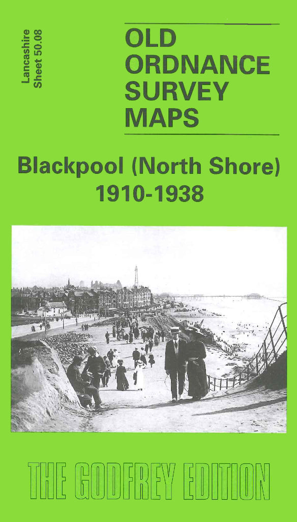
Blackpool (North Shore) 1910-1938
Code:
£3.50
Godfrey Map Number 50.08. Blackpool (North Shore) 1910-1938. 15 inches to 1 mile. This map is actually two maps side by side. One is 1910 and the other 1938. This enables a comparison to be made of Blackpool's growth during the period covered. The area covered is from Enfield Road in the south to Lowther Avenue in the north.