Alan Godfrey Maps
Barrow in Furness (West) 1911
Code:
£3.50
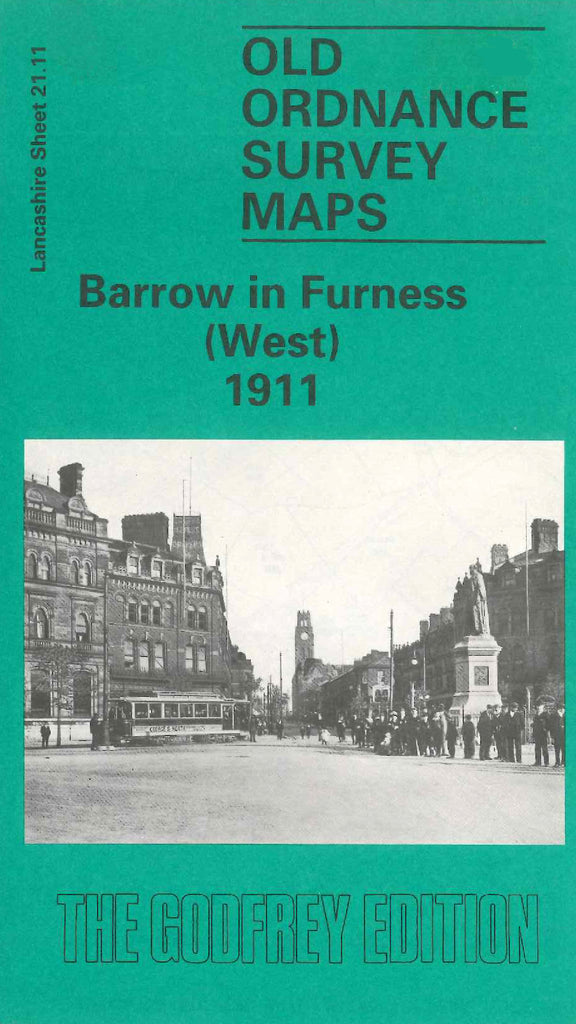
Godfrey Map Number 21.11. This map fits below the map of Barrow in Furness (North-west) 1911 (Code 3305). About a third shows fenced open lands to the left of the map, down the centre is Waltney Channel Oak Head Hole, to the left of this is Vickerstown with some terraced houses, James Dunn Park & St. Mary’s Church off the Promenade, King Alfred Hotel Ocean Rd. The right of the map is highly populated with terraced houses. It includes: Devonshire Dock, Shipbuilding Yard, Engineering Works, Naval Construction Works, Barrow Flax & Jute Works, Hindpool Saw Mills, etc.